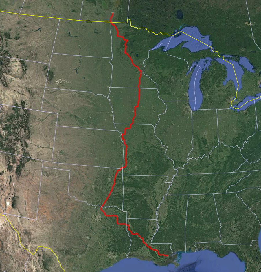
Jefferson Highway
![]()
Built in 1910s as part of the National Auto Trail System, the Jefferson Highway stretched from New Orleans, Louisiana to Winnipeg, Manitoba. Named for President Jefferson, and inspired by the east-west Lincoln Highway, it was nicknamed the "Palm to Pine Highway", for the varying types of trees found at either end. In the same manner as the Lincoln Highway, my brother Ken and I have the goal of completing the entire route from north to south in large segments. This entails flying to the start and flying back from the end of the segment. All along the way we do our best to travel the original historic alignments, be they on concrete, brick, gravel or dirt. Unlike the Lincoln Highway, the Jefferson has far fewer remaining original elements such as markers and bridges, but we do our best to find them.
Below is a map of the route we followed, captured by our GPS.
Here are photos of some of the JH-oriented sites we found along the way:
Our traveled route so far on Google Earth: